client: City of Gothenburg
team: Güller Güller architecture urbanism – ZUS
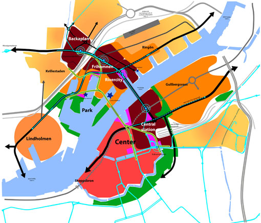
Around the Central station in Gothenburg we can clearly distinguish two cities. First is the traditional center with its grid pattern, variety of building types and open spaces, human scale, permeability and mix of uses. It is a culturally rich and attractive piece of city where coexistence takes place. Second is a functional zone where traffic above all is optimized. It is dominated by roads and inaccessible interstitial spaces. In fact, in terms of urbanity it is a dysfunctional part of the city. Ironically, this infrastructural prominence enables quick access from the region into the city core but pushes away people arriving to the center, making it a no man’s land, accessible but not usable.
Our team Güller Güller – ZUS was invited by the city planning authority of Gothenburg to reflect on how to achieve the ambition of the city as a regional urban core. The task was how to redefine infrastructure and public spaces, introducing liveability, human scale, coexistence and sustainability.
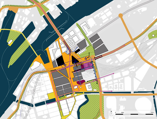
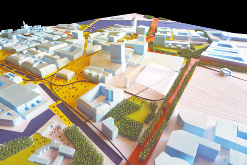
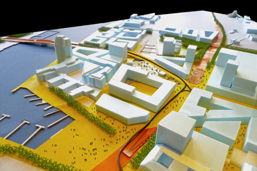
One main issue was how to redefine the infrastructure – including new foreseen station hubs, tram lines, bridge and roads, highway integration, and other urban development – so that it can be a framework for a masterplan of the area. The goal was thus not to produce another plan, but to explore all the possibilities and give some hints to the city about what those projects could be and how to create an urban environment that has desirable spatial qualities.
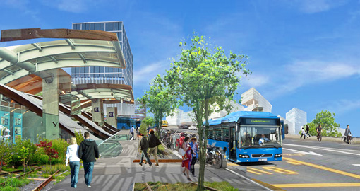
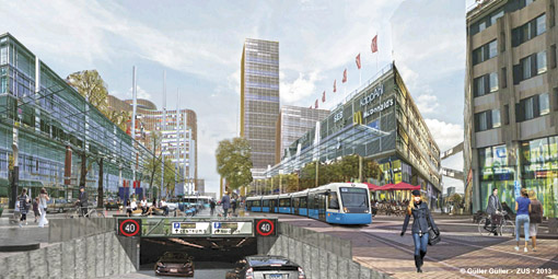
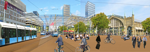
The strategy focused on establishing three main elements: a smart and comprehensive street network, attractive plots made available by redefining the infrastructure in the area and attractive, smartly-programmed public places.
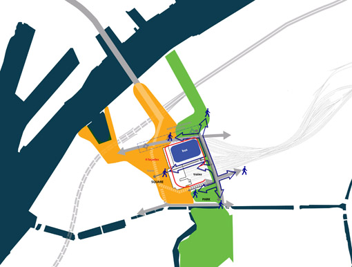
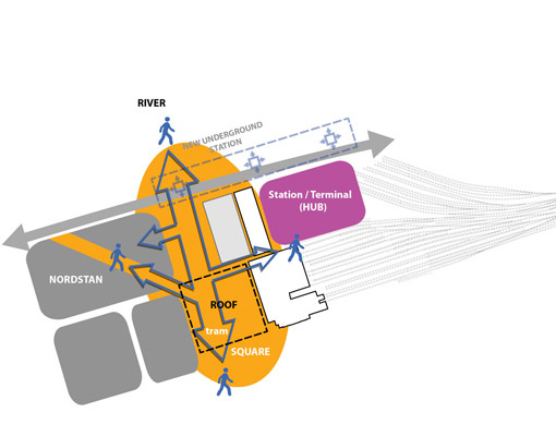
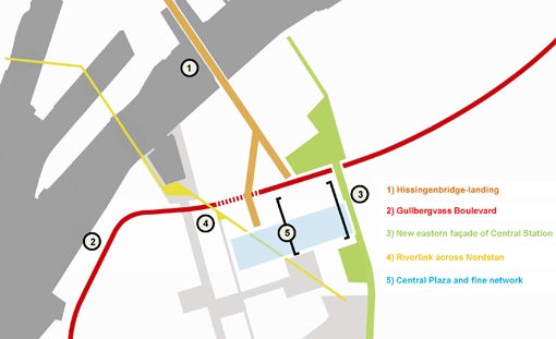
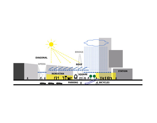
A ‘Road Map’ detailing five projects (the Hissingen bridge landing, the Gullbergsvass Boulevard, the new eastern facade of Central Station, the Riverlink across Nordstan, and the Central Plaza and fine network) strategically links urban development, quality of public space and infrastructure. It facilitates harmonious collaboration between all the actors involved on the planning process, so that they can refine the individual projects toward clear goals while making a collective effort to create a vibrant city core.
The “Road Map” can become the main tool the city uses to galvanize all existing dynamics and orient them in a direction agreed upon by the society for an inclusive, transformed city.
The methodology to develop the project was to work very closely with the local actors, experts and technicians. The process could give clear and real results only if tested on a daily basis with the ones whom know deeply the problems. Our role was to understand all the ideas, projects and desires from each side of the spectrum and synthesize a consistent and realizable framework to provide the city authority with fruitful recommendations and solutions for its ambitions to transform the Central Station area. We also aimed to introduce a breaking point on the city’s stalled planning process in which several projects and disciplines failed to come together on a coherent urban vision.


