client:SEMAG92/Ville de Gennevilliers
team: Güller Güller architecture urbanism + Alphaville + HYL + FBC + RR&A + SETEC
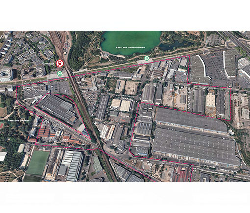
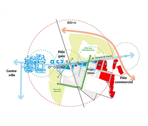
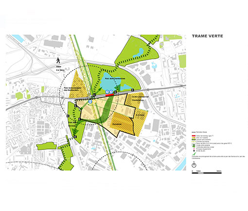
The regional planning ambitions an openness of the city of Gennevilliers towards the Park of Chanteraines, profiting of the high accessibility provided by the RER C line and the tramway T1 demand a masterplan for the area. This sector remains nowadays a monofonctional zone isolated from the rest of the city by heavy infrastructure (the RER C railway line and the logistics line deserving the port of Paris) This site has been historically home of several industries established in Gennevilliers for longtime and attached to the city and its inhabitants. The site sits right between the Park Chanteraines and Park Sévines, main landscape features of the territorial green structure called Corridor Vert that runs across the Boucle de la Seine. This high accessibility (a direct access to the A86 sits right next to the area will be increased in the future by the new GPE station of Grésillons in the south of the sector.
Against the favorable conditions on the regional level the immediate context display serious constraints which impact an urban development: polluted grounds, high levels of noise from the railway, risk of inundation, gas conductions, etc.
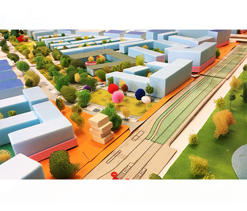
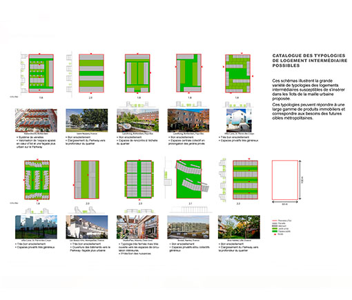
The masterplan main ambition it is to offer a perfect ground to a development that aims to be a new mixed neighborhood as reference milestone between la Plaine Saint-Denis and La Défense. In order to achieve this goal, the plan attached to some principles: build a transition from its industrial character which retains and increase employment, maintain a mixed development (50%housing 50%actif city) through all phases, maximized the reuse of the existing streets and urban infrastructure and create connections to the context and guarantee the existing ones and ensures a durable and sustainable co-existence between new housing and industries through a series of innovative urban typologies.
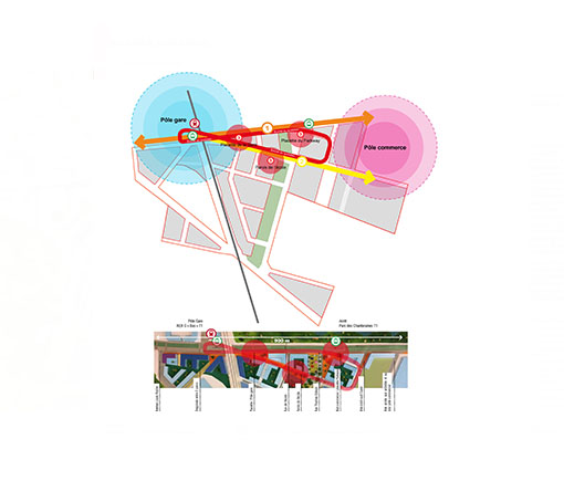
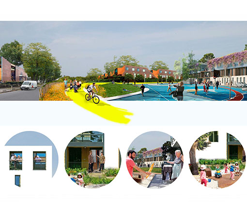
The masterplan aims to become a vector of connection in the territory; the green corridor will materialize on a so called Parkway which links the two parks and becomes major public space of the neighborhood and urban tool to requalify the area. The project organizes itself around this public space tracing a network of walkable spaces towards the station around a pedestrian friendly axe called Boucle du Quotidien where main elements find their address: the local school, shops, station, park, services, etc.


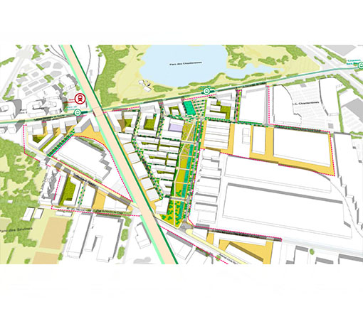
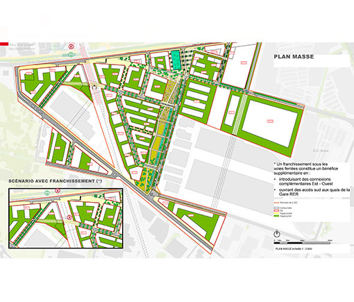
Masterplan for South Chanteraines , Gennevilliers.
France, FR, 2013-2017
France, FR, 2013-2017